Archaic and Classical periods
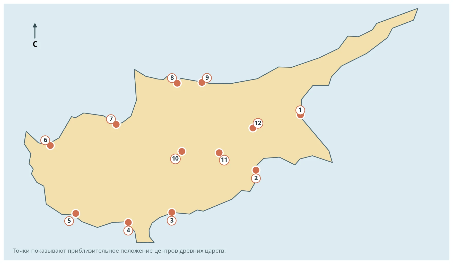
The number, composition and borders of the Cypriot kingdoms changed from one period to another. The map therefore presents an educational list of twelve major centres rather than the political situation in one particular year.
The worksheet includes Salamis, Kition, Amathus, Kourion, Palaepaphos, Marion, Soloi, Lapithos, Keryneia, Tamassos, Idalion and Chytroi.
The activities help compare the location of these centres, their links with the sea and the interior, and the island’s linguistic and cultural diversity.
Research note
The composition of the kingdoms changed over time; the worksheet uses an educational list of twelve major centres from different periods.
Images